Toronto Addresses
Kevin Branigan
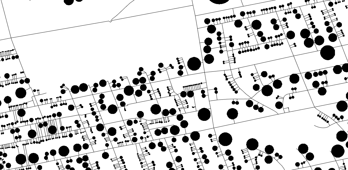
I have been fiddling with the Toronto address points (and centreline data), trying to get some use out of it. Specifically around being able to associate addresses to their specific streets. Turns out, a large number of the address points are actually closer to alleyways or other streets. Anyway, I'd try to explain but instead - semi interesting looking image:

The circles are addresses with parking tickets, the connections to their streets and also the streets are drawn. The addresses are drawn according to how close another address is that has parking tickets associated with it. Some of them are very wrong. (I'm still working on it)
This on the other hand, is the same data - but instead of drawn as circles, the addresses are drawn as edges parallel to the street and coloured according to how many tickets were issued historically within 3 hours of when i rendered it - actually, that's not true.
