Netherlands Elevation Data
Lets say, maybe a year ago, yeah sure, a year ago - some dutch (oh how I love the dutch) student sent me some elevation data of his beautiful motherland (actually my mother's motherland too) and wanted my help translating the shapefile data to something useable for some project of his. Here's what I did with it - he used it for texturing or something, I just don't even know.
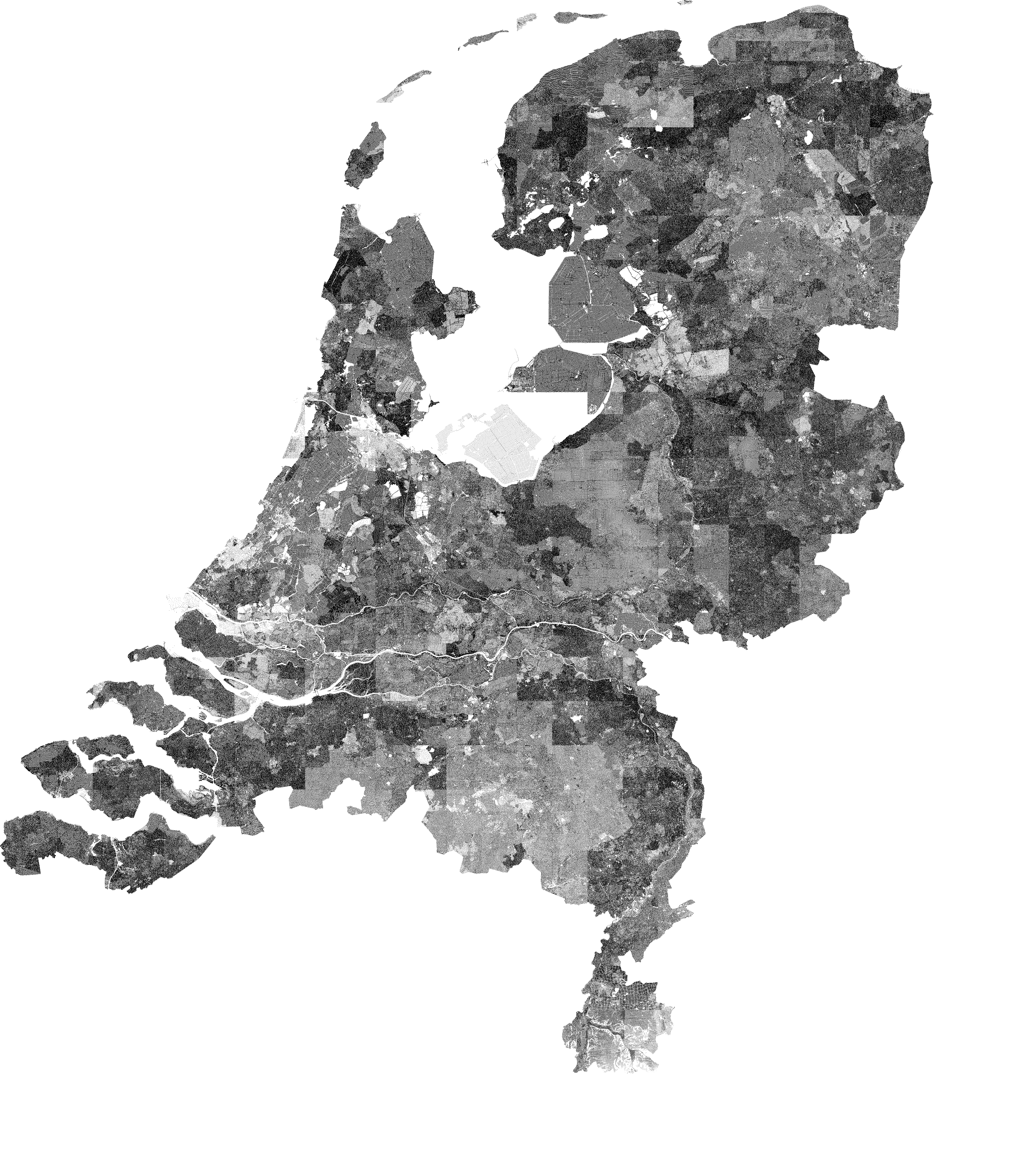
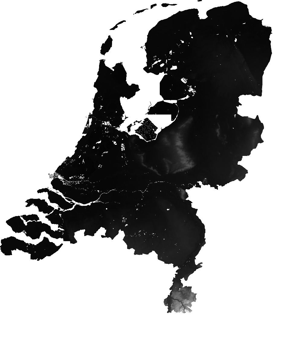
So the first image is more an indication of the samples provided, where the second image indicates more the actual variation of the values of the individual samples. I think that's interesting, but neither are really ideal. I suspect I should produce a Delaunay triangulation (or the equivalent Voronoi diagram) and colour the individual triangles those so the whitespace slivers are filled - but with millions of samples and the minor detail that I suck at math discouraged me. Also I did try and it didn't work.